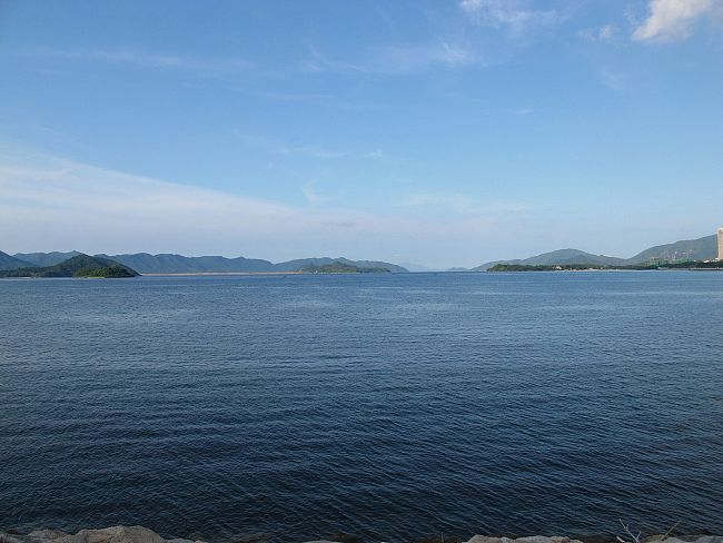
Tolo Harbour
Tai Po
Map
Facilities
Child Friendly
Transport info
You may take the MTR to Tai Po Market Station Exit A2 for 5 minutes or bus 72X, 73X, 74X, 75X, 271 or 307 to Kwong Fuk Road. The cycling track at Tolo Harbour is taken along the cycling track at Kwun Fuk Road and Tai Po Road.
Introduction
Tolo Harbour, or Tai Po Hoi is a sheltered harbour in northeast New Territories of Hong Kong.
Tide Cove aka. Sha Tin Hoi is to the south of the harbour, and Plover Cove, Three Fathoms Cove and Tolo Channel are to its east. The Shing Mun River empties first into Tide Cove, then the harbour. Several islands are located in the harbour, including Ma Shi Chau, Centre Island, Yeung Chau and Yim Tin Tsai. Yuen Chau Tsai is a former island, now connected to the mainland by a causeway.